

The River Wey is one of the smallest river systems in England and is a major tributary of the River Thames with its name possibly deriving from the Old English word Éa meaning ‘river’. It is 8.8km long, but for its short length is has a comparatively large surface catchment area of 47.6 km squared, running through three counties; Surrey, Hampshire and West Sussex. Laterally, it falls 60 metres from source to mouth, resulting in a gradient of one in 150.
The upper reaches of the Wey is found within the Surrey Hills area of Outstanding Natural Beauty and has numerous Sites of Special Scientific Interest (SSSI) and Nature Reserves along the river. It passes through a variety of habitats that include heathland, woodland and watermeadow, resulting in a broad diversity of wildlife. There are also many angling clubs along the river as there are stocks of lots of species of fish including chub, pike, bream, barbel, roach, perch, carp and eel.
The River Wey is quite unusual in that it has two sources and two river courses many miles apart but which share the same name. The south branch rises south from Blackdown near Haslemere in West Sussex and flows west into Hampshire going through the town of Bordon before turning east and entering Surrey southwest of Frensham. The northern branch flows from Alton in Hampshire and goes north-east through Farnham.
The two rivers flow into Surrey where they join at the picturesque village of Tilford and remain in the county until reaching the Thames at Weybridge. From Tilford the river runs through the towns and parishes of Elstead, Eashing, Godalming, Peasmarsh/Shalford, Guildford, Send, Old Woking, Pyrford, Byfleet, New Haw and forms the traditional border between Addlestone and Weybridge.
The River Wey is also quite unique in that it has two man-made navigations; the longest having been constructed around the time of the English Civil War 350 years ago. The canals provide approximately 20 miles (32 kilometres) of navigable water which connects Surrey with London and has ensured that Surrey became one of the wealthiest and most influential areas in Britain. Later navigations to the Wey Navigations included the Basingstoke Canal and the Wey & Arun Junction Canal which extended the reach of barges to waterways stretching the length and breadth of England. These connections have helped put Guildford and Surrey on the map and even once provided a southerly route to the sea.
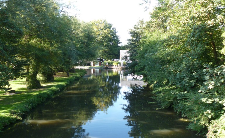
The Wey Navigations are used by a variety of pleasure boats including canoes, kayaks, skiffs, skulls, barges, rowing boats and narrowboats as there are a number of clubs along the Navigations promoting the use of the water for sport and pleasure. There are two commercial boathouses which provide a concoction of boats for hire short and long-term and thousands of other water craft visit from all around Britain using the 2,000 miles (3,200 kms) of interlinked navigable waterways.
The two navigations have 16 locks, 12 weirs, 50 weir structures, 24 bridges, 13 cottages and 24 other buildings, together with a fleet of 11 maintenance craft to operate. This is a considerable responsibility that represents a huge financial and legal liability when you take in the context of providing the manpower and finance to maintain all aspects of the waterways to ensure all-year-round navigation. The 40 miles (64 kilometres) of river boundary running through the properties of over 2,000 land owners and across four municipal boroughs requires much attention, especially in ensuring flood control measures are in place and pollution avoidance.
James Martin